
Will the Squares in the Room Please Stand Up?
by Carolyn Ristau
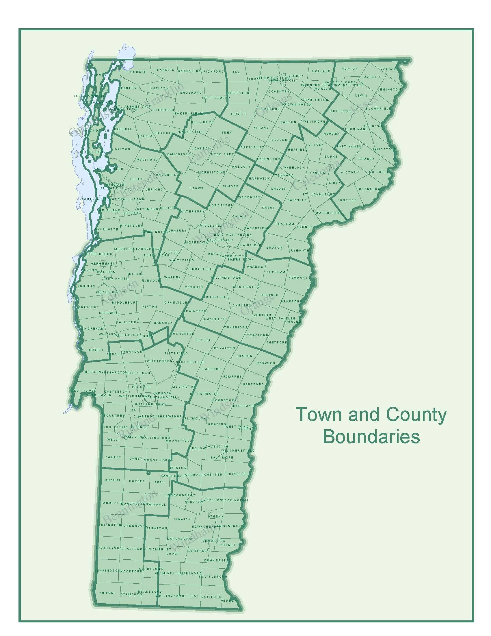
Source: http://vtransmaps.vermont.gov/staticMaps/TownCounty.pdf
The Land Ordinance of 1785 created the Public Land Survey System to apply square townships to Ohio and points west. However, looking east there are several square or squared-off municipalities. The most well-known is Washington, D.C. The Residence Act of 1790 created a square District of Columbia from portions of Maryland and Virginia. Over the next two years, the plan for the City of Washington was developed, first by Pierre L’Enfant then by Andrew Ellicott. This plan featured a grid much like Philadelphia and Savannah, but with the added feature of diagonal streets connecting public squares or buildings. In 1846, the portion of the 100-square-mile District of Columbia that came from Virginia was “retroceded” to that state, leaving the Capital with three squared sides and one organic river-bound side.
Other municipalities east of the land regulated by the Ordinance of 1785 also feature square or squared-off boundaries. In the northern portion of Allegheny County, Pennsylvania, there are several municipalities with square boundaries. Butler County, the next county to the north, is also made up of square municipalities. The northern part of Allegheny County, the southern part of Butler County and portions of Beaver, Armstrong, and Lawrence Counties made up the “Depreciation Lands.” This area plus land to the north known as the “Donation Lands” were purchased from the Native Americans to pay off soldiers from the Revolutionary War. Some, if not all, of the Depreciation Lands were surveyed 1784-1785, the same time that square-based surveying was adopted in the Ordinance of 1785.
Vermont is also filled with square or squared-off municipalities. These municipalities pre-date the Ordinance of 1785 and pre-date the United States. For example, Halifax received its land grant in 1750, Rutland in 1761, and Woodford in 1762. As these grants were officially given by the King of England, perhaps it was easier to draw squares from that distance than to take into consideration the geographical formations of the land. Due to various factions that emerged in the 19th Century, Rutland split into multiple municipalities primarily based on who owned what land, but the original square structure is still visible.
In the Mid-West and Great Plains regions of the country, where land is relatively flat and it is easy to lay roads on a grid-based pattern, squared and grid-based municipalities make sense. In mountainous areas like Vermont and Western Pennsylvania, they make less sense. These were top-down divisions, which perhaps made bureaucratic sense at the time but do not reflect the on-the-ground conditions. For example, parcels that follow the curvilinear roads (that are following the easiest paths through the hills and valleys) do not always align with the square municipal boundaries. These end up creating bureaucratic headaches across multiple facets - zoning, taxes, etc. Two lessons from this example are:
What may be easy now may end up creating worse problems later. So, ask how this will work 1 year, 5 years, and 10 years from now.
What works well in one area may not work well in others. So, develop best practices, but check that the practices are appropriate for the area.
Source & Inspiration:
Rectangular Survey System. Bureau of Land Management. (accessed April 22, 2023)
Land Ordinance of 1785. American History Central. (accessed April 22, 2023)
Planning History. National Capital Planning Commission. (accessed June 1, 2023)
Depreciation Lands. Sewickley Valley Historical Society. (accessed June 1, 2023)
Map of Donation and Depreciation Lands. University of Pittsburgh Library System Digital Archives. (accessed June 1, 2023)
Town and County Boundaries. Vermont.gov. (accessed June 1, 2023)
About Woodford. Woodford, Vt. (accessed June 1, 2023)
About the Town of Halifax. Halifax, Vt. (accessed June 1, 2023)
Austen, Mike. Stories from Vermont’s Marble Valley. The History Press; Charleston, SC. 2010.