
Pittsburgh Zoning Map - RIV Riparian Buffer
By Carolyn Ristau and Kathleen Oldrey
Introduction
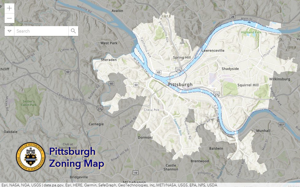
Pittsburgh’s interactive zoning map includes many layers besides the zoning districts, most of which relate to requirements within or adjacent to the zoning code. For an overview on how to use the interactive zoning map, see our introductory post.
To select different layers, click the stack of paper in the upper right corner. The layers available are listed below. Today’s post features the RIV Riparian Buffer layer, pictured above and in bold text below.
Zoning
Zoning Districts
Zoning Districts Outlines
Riv. Zoning Max. Height Overlay
1500’ Major Transit Buffer
Parking Reduction Areas
North Side Commercial Parking Prohibited Area
Baum Centre Zoning Overlay
Inclusionary Housing Overlay District
Pending Inclusionary Housing Overlay District Expansion
RCO (Registered Community Organization) Areas
City Divisions
DPW Divisions
Neighborhoods
Council Districts
Wards
Historic Preservation
Mexican War Street Historic Boundary
Individual City-Designated Properties
Pittsburgh City Historic Districts
Environment
RIV Riparian Buffer (125 Feet)
Floodplain Areas
Landslide Prone
Potential Steep Slopes Overlay Area
Undermined Areas
Allegheny County
The RIV Riparian Buffer Layer

Overview
This layer of the interactive zoning map shows a buffer zone of 125 feet along the edges of the Allegheny, Monongahela, and Ohio Rivers within the City of Pittsburgh. The riparian buffer zone is not applied to smaller waterways within the city, such as the Saw Mill Run.
To see whether a property includes area that is in the RIV Riparian Buffer:
Click the portion of the parcel in question that is covered with the riparian zone layer
Use the arrows to navigate between the pop-up windows as necessary
Relationship with Zoning
In the RIV (Riverfront) zoning districts, additional standards apply to development within Riparian Buffer Zones particularly in relation to the placement of structures in relation to the rivers. A summary of the RIV standards for Riparian Buffer Zones is available in our post on the Environmental Standards of the RIV.
Riparian buffers are also discussed in the city’s stormwater code, Title 13.
Conclusion
Start with Pittsburgh’s interactive zoning map to check if your project is on a property that includes Riparian Zone area, and if it is in the RIV zoning district. If both conditions are met, account for the RIV’s Structure Placement standards for the125-foot buffer zone.