
Pittsburgh Zoning Map - Neighborhoods
By Carolyn Ristau

Introduction
Pittsburgh’s interactive zoning map includes many layers besides the zoning districts, most of which relate to requirements within or adjacent to the zoning code. For an overview on how to use the interactive zoning map, see our introductory post.
To select different layers, click the stack of paper in the upper right corner. The layers available are listed below. Today’s post features the Neighborhoods layer, pictured above and in bold text below.
Zoning
Zoning Districts
Zoning Districts Outlines
Zoning Max. Height Overlay
Height Reduction Zone Overlay
1500’ Major Transit Buffer
Parking Reduction Areas
North Side Commercial Parking Prohibited Area
Baum Centre Zoning Overlay
Inclusionary Housing Overlay District
RCO (Registered Community Organization) Areas
City Divisions
DPW Divisions
Neighborhoods
Council Districts 2012
Council Districts 2022 (Current)
Wards
Historic Preservation
Mexican War Street Historic Boundary
Individual City-Designated Properties
Pittsburgh City Historic Districts
Environment
RIV Riparian Buffer (125 Feet)
Stormwater Riparian Buffer
Floodplain Areas
Landslide Prone
Potential Steep Slopes Overlay Area
Undermined Areas
Addresses
Allegheny County
City Boundaries
Imagery 2021
The Neighborhoods Layer
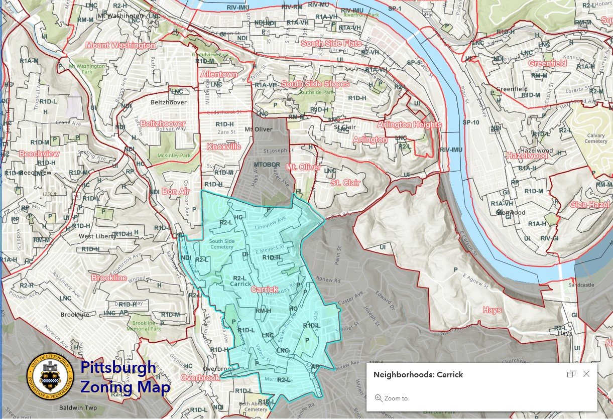
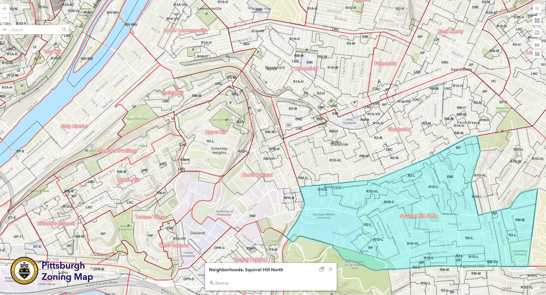
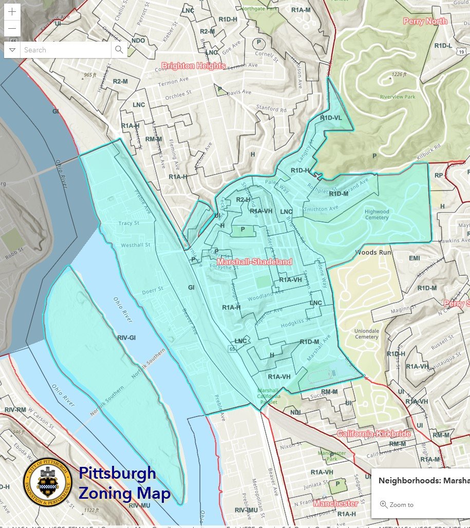
Overview
This layer of the interactive zoning map shows the 90 official neighborhoods of the City of Pittsburgh. To see which neighborhood covers a specific point or parcel:
Click on the point in question
Use the arrows to navigate between the pop-up windows as necessary
Relationship with Zoning
The neighborhoods are not tied to specific zoning code regulations. However, they are sometimes identified on documents produced by the zoning division such as Zoning Board of Adjustment decisions. When a conversation needs to happen with the community about a proposed development and there isn’t a Registered Community Organization, the neighborhood designation on the map can be a starting point in the search for a local group. Many neighborhoods in Pittsburgh have organizations of various sizes that can help disseminate information to the community, but not all of them have become RCOs.
Challenges
This map portrays the City-designated neighborhoods and boundaries, which do not always align with the local communities’ definitions and identities. For example, there is no official neighborhood called “Downtown.” Instead, there is the Central Business District. In another instance, the neighborhood of Park Place is a community-identified neighborhood that does not appear on the City map. In some neighborhoods, such as the Garfield-Bloomfield-Friendship area, the community-identified boundaries differ from those on the map.
Conclusion
The Neighborhoods layer of Pittsburgh’s interactive zoning map shows the City-designated 90 neighborhoods and their boundaries, which may or may not align with the community-identified neighborhoods. However, it can be used as a starting point to find a local community organization.